
View all
Road Trips
Travel Tips & Guides
Driving
Camping
Nature & Adventure
Van Life
Culture & History
0 Comments
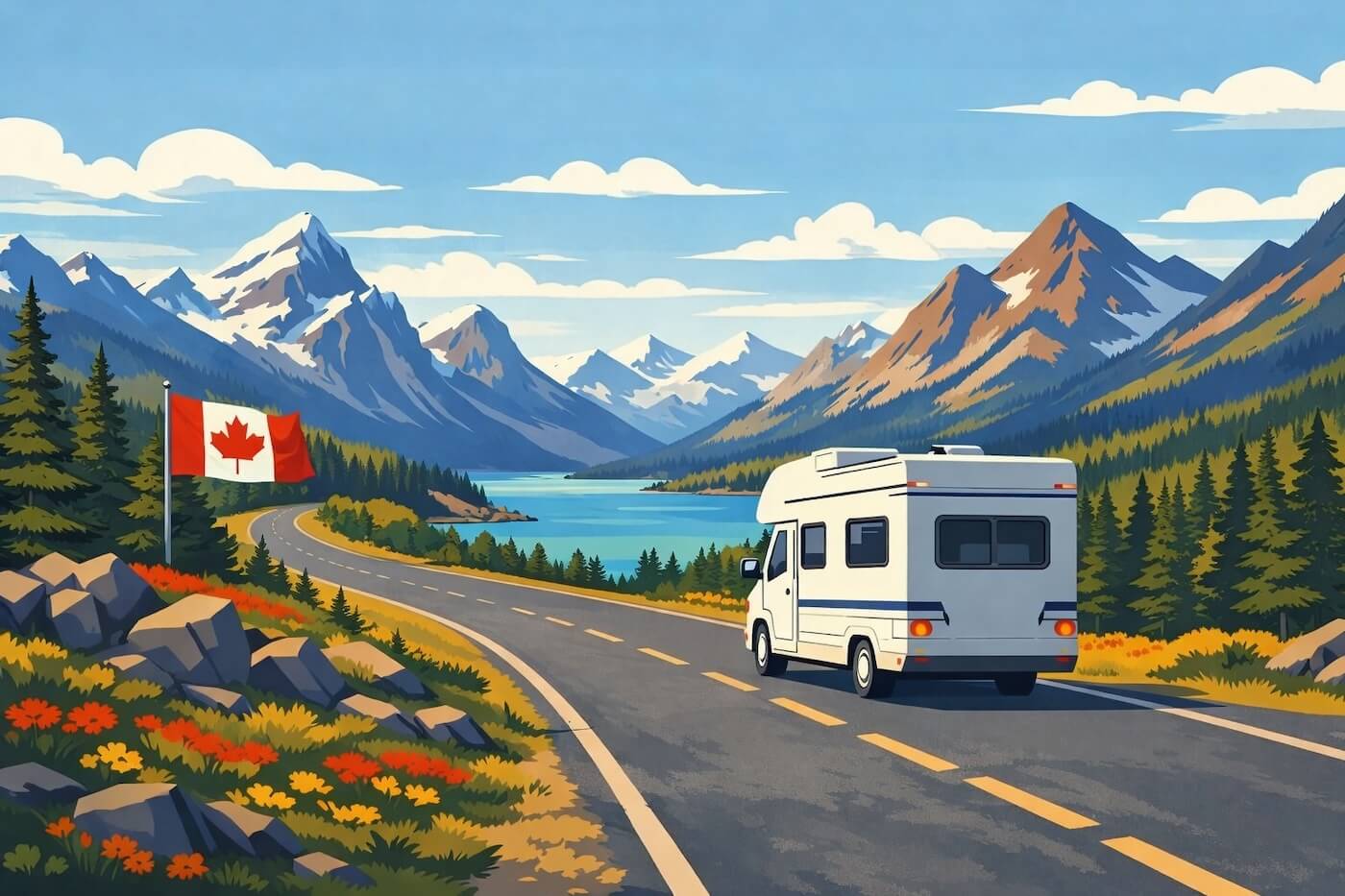
This Canada road map gives a broad, practical view of how the country works by road, from the dense southern highway belt to the sparse access of the North. You can view the map image here and open or download the available PDF and JPG versions.
Read More
0 Comments
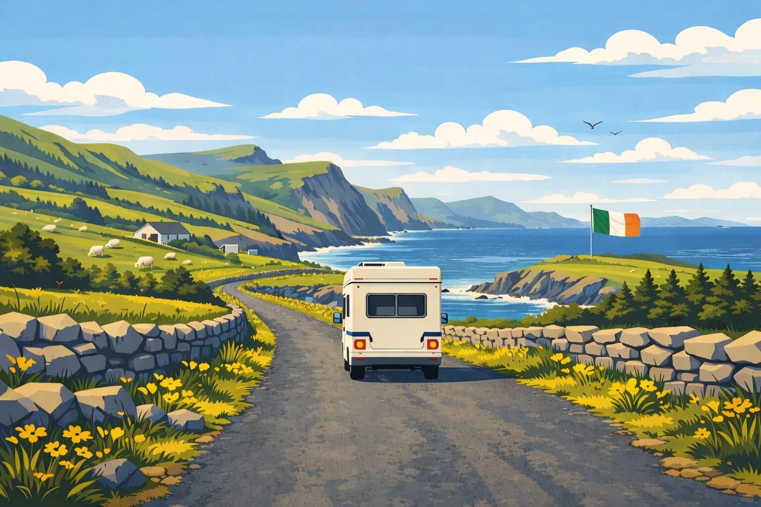
This Ireland road map gives a practical view of the country’s main road network, from Dublin and Cork to Galway, Donegal and the border with Northern Ireland. You can open or download it in PDF and JPG format.
Read More
0 Comments
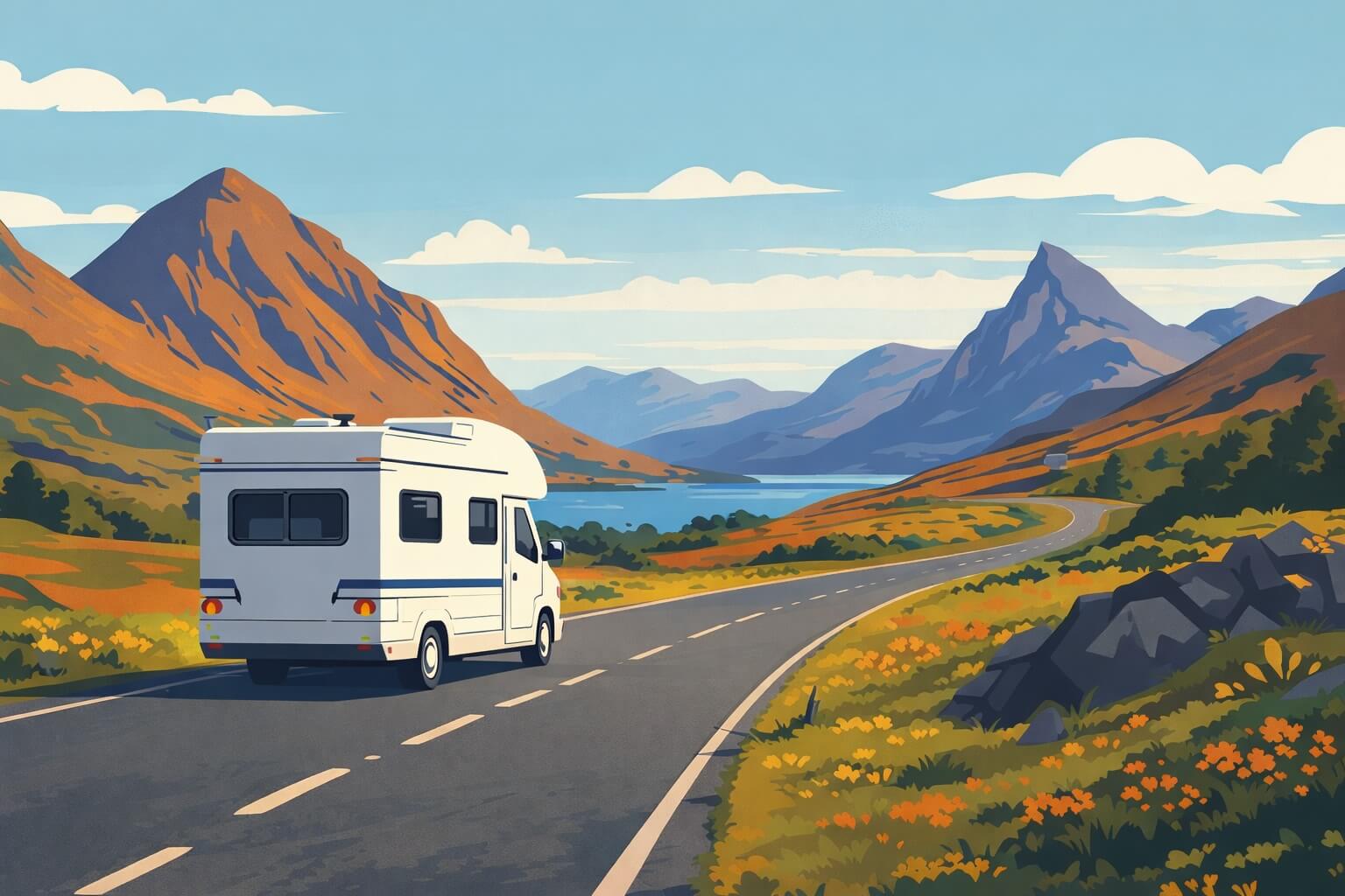
Find a detailed Scotland road map you can view online or download in PDF and JPG. It highlights the main road corridors, key destinations, ferry links to the islands, airports, rail lines and national park boundaries—useful for building a realistic route across the Highlands, the Central Belt and beyond.
Read More